
Blogs
Working with Geospatial Features in MySQL
Geospatial design management is how engineers across various disciplines make sense of complex data to make more informed decisions and better understand the spatial relationships in the world around us.
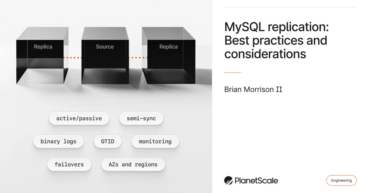 BlogsMySQL replication: Best practices and considerationsPlanetscale
BlogsMySQL data types: VARCHAR and CHARPlanetscale
BlogsIdentifying and profiling problematic MySQL queriesPlanetscale
BlogsDistributed caching systems and MySQLPlanetscale
BlogsWhy CSV Files Won’t Die and How DuckDB Conquers ThemMotherduck
EventsWhat's New in DuckDB 1.5Motherduck
BlogsVision Model Platform Updates: Enhanced Capabilities and New FeaturesFireworks
ResourcesWorking with DrainsVercel
Products & ServicesNew in GitBook: Better insights, customizations, editor improvements and moreGitbook
Products & ServicesNew in GitBook: Reusable content, broken link detection and editor improvementsGitbook
Products & ServicesHere’s everything we announced last weekGitbook
BlogsIntegrating Design And Code With Native Design Tokens In PenpotSmashingmagazine
BlogsCSS Intelligence: Speculating On The Future Of A Smarter LanguageSmashingmagazine
BlogsOpenAPI 3.2 is here: what's new and how Redocly supports itRedocly
BlogsNew and noteworthy apps: Asana, Microsoft Office 365, + moreZapier
ResearchFrom Tools to Teammates: Evaluating LLMs in Multi-Session Coding InteractionsCohere
BlogsIt's survey time! How has Go has been working out for you? - The Go Programming LanguageGo
BlogsFireAttentionFireworks
BlogsMySQL replication: Best practices and considerationsPlanetscale
BlogsMySQL data types: VARCHAR and CHARPlanetscale
BlogsIdentifying and profiling problematic MySQL queriesPlanetscale
BlogsDistributed caching systems and MySQLPlanetscale
BlogsWhy CSV Files Won’t Die and How DuckDB Conquers ThemMotherduck
EventsWhat's New in DuckDB 1.5Motherduck
BlogsVision Model Platform Updates: Enhanced Capabilities and New FeaturesFireworks
ResourcesWorking with DrainsVercel
Products & ServicesNew in GitBook: Better insights, customizations, editor improvements and moreGitbook
Products & ServicesNew in GitBook: Reusable content, broken link detection and editor improvementsGitbook
Products & ServicesHere’s everything we announced last weekGitbook
BlogsIntegrating Design And Code With Native Design Tokens In PenpotSmashingmagazine
BlogsCSS Intelligence: Speculating On The Future Of A Smarter LanguageSmashingmagazine
BlogsOpenAPI 3.2 is here: what's new and how Redocly supports itRedocly
BlogsNew and noteworthy apps: Asana, Microsoft Office 365, + moreZapier
ResearchFrom Tools to Teammates: Evaluating LLMs in Multi-Session Coding InteractionsCohere
BlogsIt's survey time! How has Go has been working out for you? - The Go Programming LanguageGo
BlogsFireAttentionFireworks